Portfolio

default

default

default

default

default
Riverside Cemetery Veterans Memorial Renovation
Riverside Cemetery Veteran’s Memorial Renovation– Kalamazoo, Michigan
Location: 1015 Gull Rd. Kalamazoo, MI 49048
Owner: City of Kalamazoo
Project Summary:
Project Cost: $100,000+
Hurley & Stewart worked with the Westwood Garden Club to provide construction documents for the renovated Veteran’s Memorial rededicated in 2015 and designed an accessible ramp to allow disabled veterans to visit the memorial in this very steep location. Construction of the ramp was completed in 2024.
| Categories : |
Municipal
|
|---|
Stryker Way web-06
Stryker Way web-10
Stryker Way web-05
Stryker Way web-09
Stryker Way web-04
Stryker Way web-11
Stryker Way web-12

Stryker Way web-13
Stryker Way web-14
Stryker Way web-03
Stryker Way web-15
Stryker Way web-16
Stryker Way web-17
Stryker Way web-18
Stryker Way web-19
Stryker Way web-01
Stryker Way web-02
Stryker-Way-23
Stryker-Way-25
Stryker-Way-29
Stryker Way GE
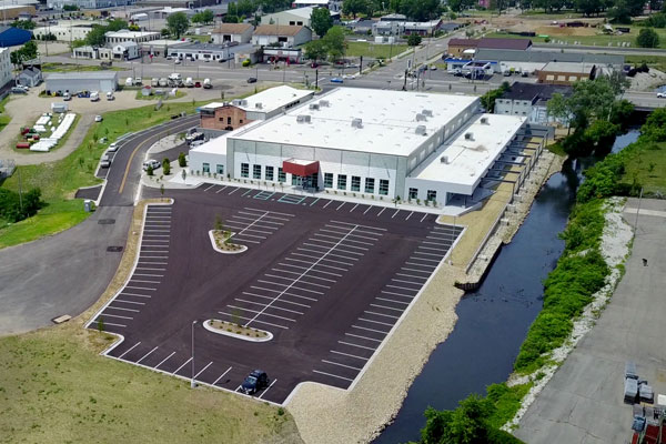
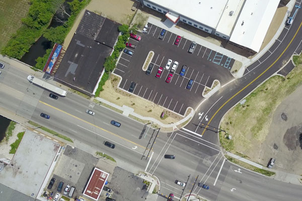
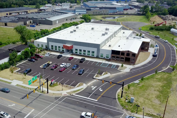
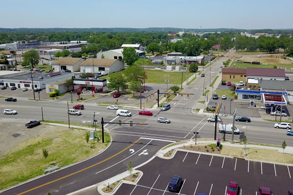
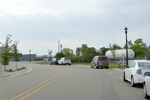
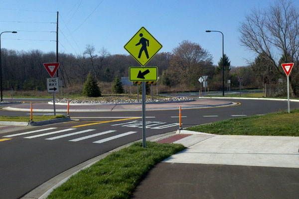
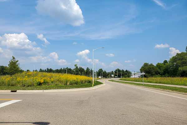
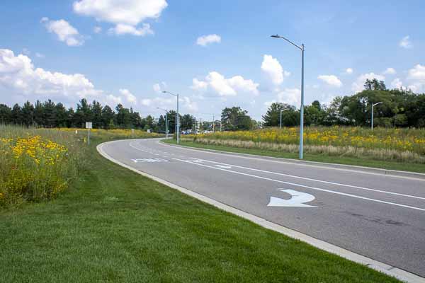
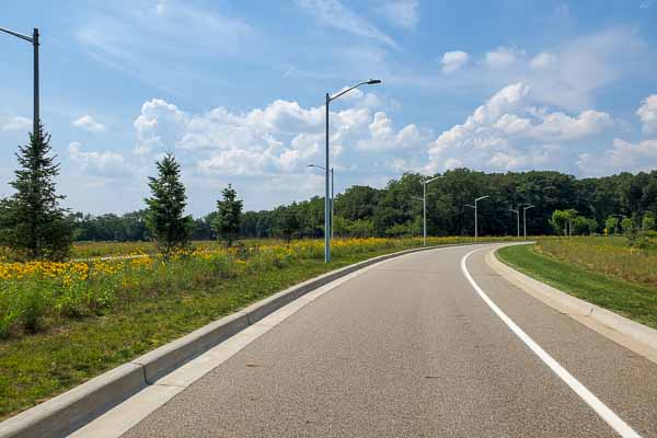
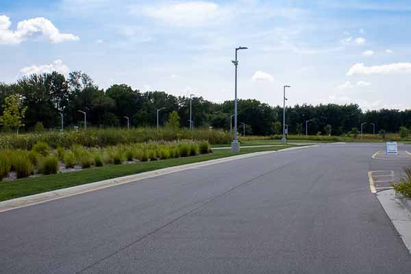
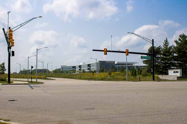
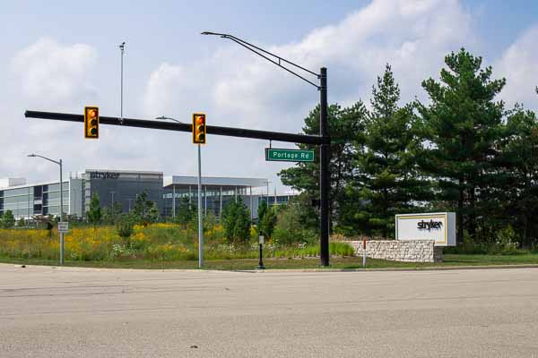
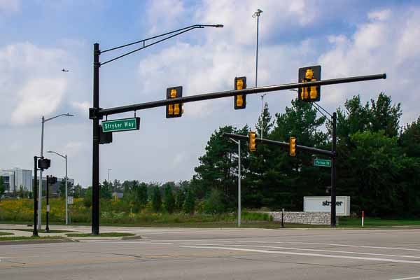
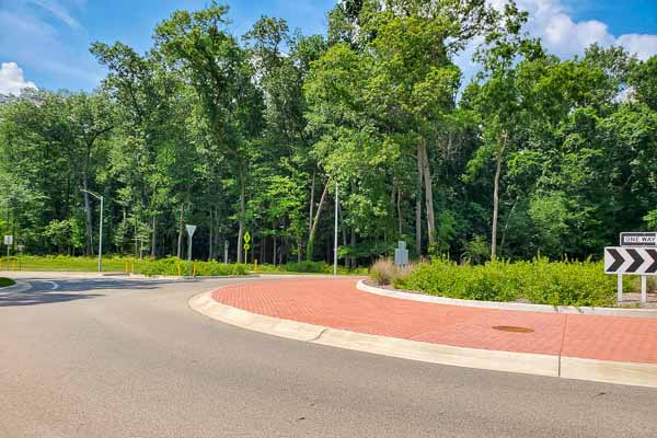
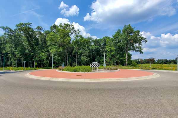
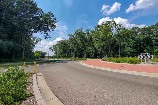
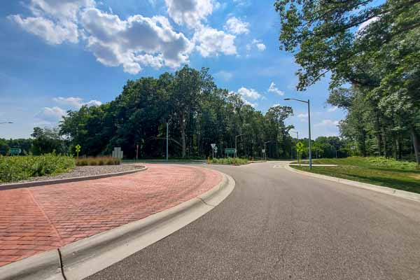
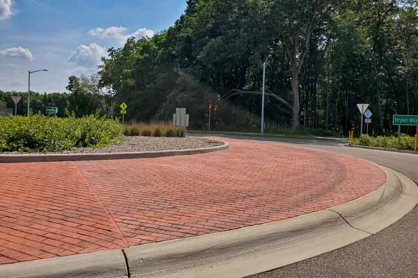
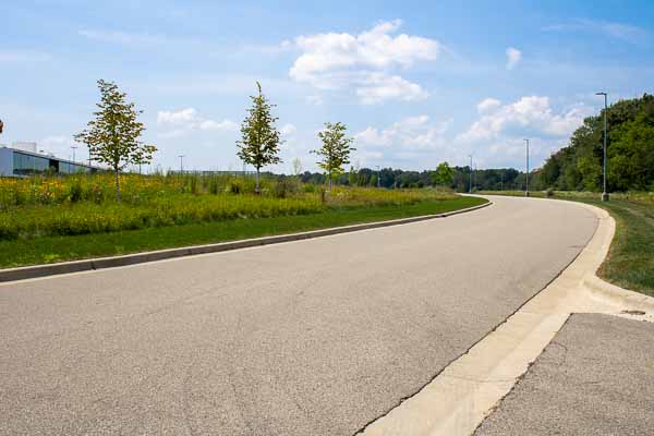
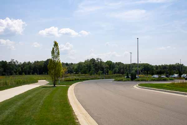
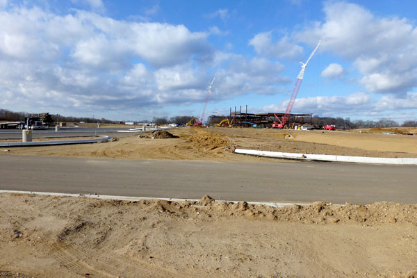
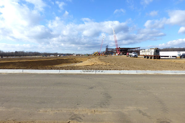
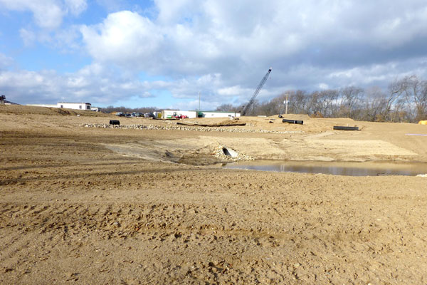
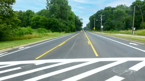
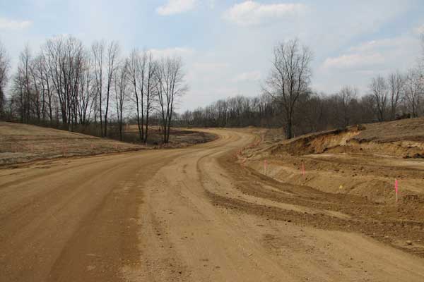
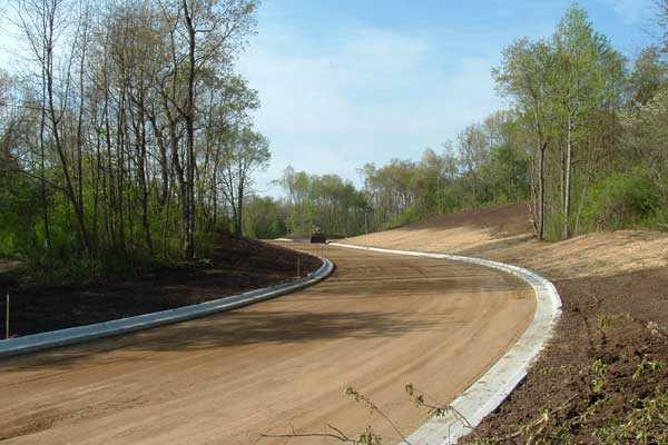
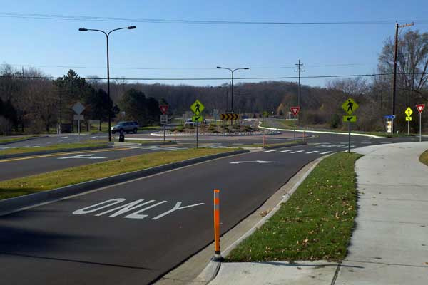
Stryker Way
Location: Roadway between Lovers Ln. and Portage Rd, Portage, MI 49002
Development Size: 0.9-mile roadway to serve approximately 290-acre industrial zoned property
Owner: Stryker Instruments, City of Portage
Project Summary:
• Project Cost: $6 M
• Coordinated public and private partnership with Stryker and City of Portage.
• Designed roadway with two-lane and boulevard sections to maximize land use potential.
• Developed roundabout to connect roadways and driveways near the center of the project.
• Performed traffic study and designed intersection improvements at connections to existing public roadways.
• Engineered public water and sanitary sewer extensions. Obtained required permits from MDEQ.
• Coordinated with adjacent industrial development for shared storm water management system.
• Designed 1.5 mile shared use pathway to connect to existing City recreation system.
• Developed traffic signal plans for Portage Rd. intersection. Constructed with MDOT grant
• Performed on-site inspection services to conform with City of Portage documentation requirements.
| Categories : |
Municipal
|
|---|
Lovers WEbsite-2
Lovers WEbsite-4
Lovers WEbsite-3
Lovers WEbsite-6
Lovers WEbsite-7
Lovers WEbsite-1
Lovers WEbsite-5
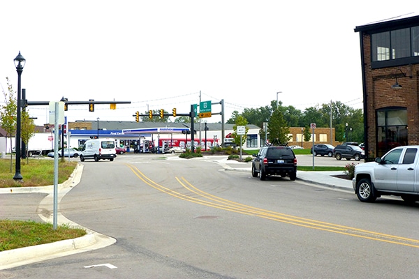
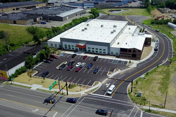
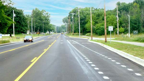
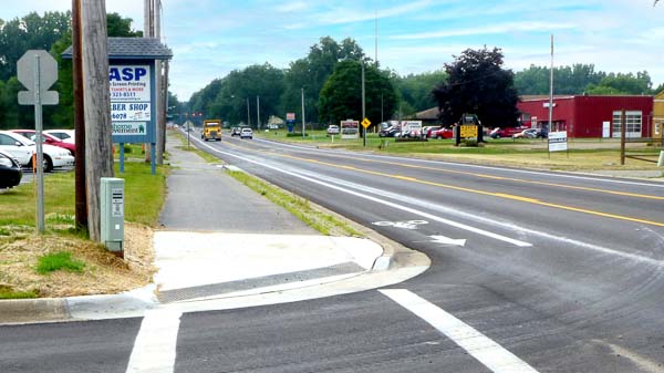
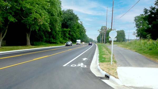
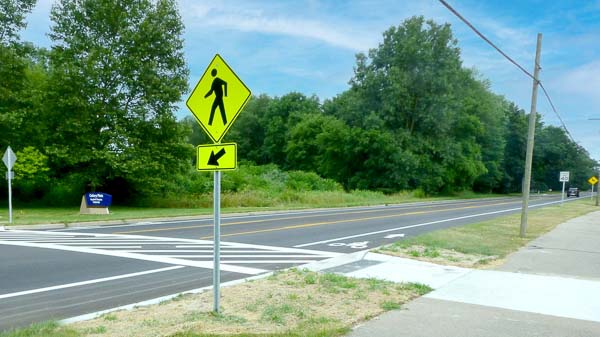
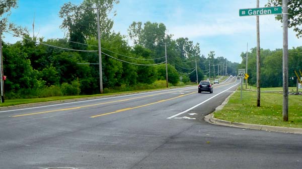
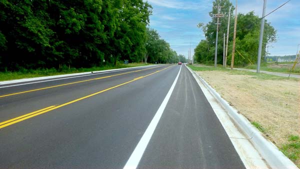
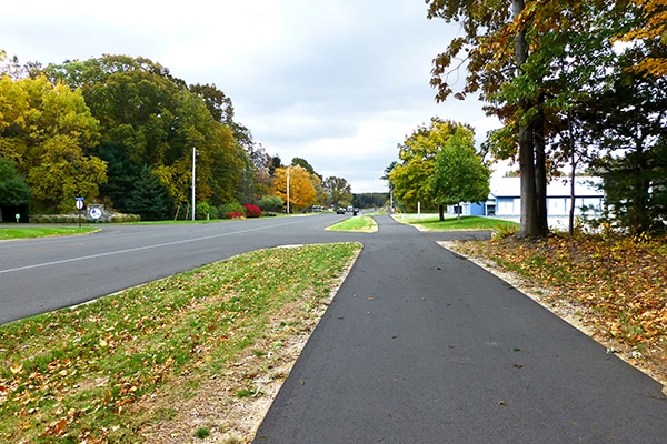
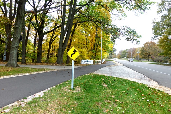
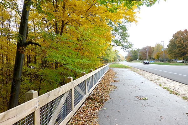
Lovers Lane
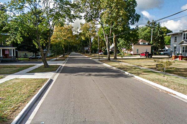
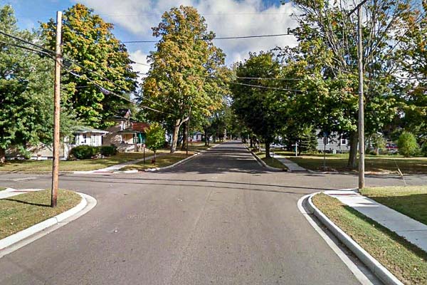
Location: Lovers Lane from E. Milham Ave to E. Centre St.
Project Summary:
Hurley & Stewart was involved in the planning and design of this important $1.2 M infrastructure update of Lovers Lane. The project included reconstruction and realignment of approximately 700 ft. of roadway to correct an existing reverse curve, relocation of approximately 500’ of 10’ wide shared use path, sanitary sewer, and storm sewer, milling/resurfacing 2,550 ft. of roadway to the north of the reconstruction and updating pavement markings and signage.
| Categories : |
Municipal
|
|---|
NE Transmission Website-5
NE Transmission Website-4
NE Transmission Website-1
NE Transmission Website-2
NE Transmission Website-3
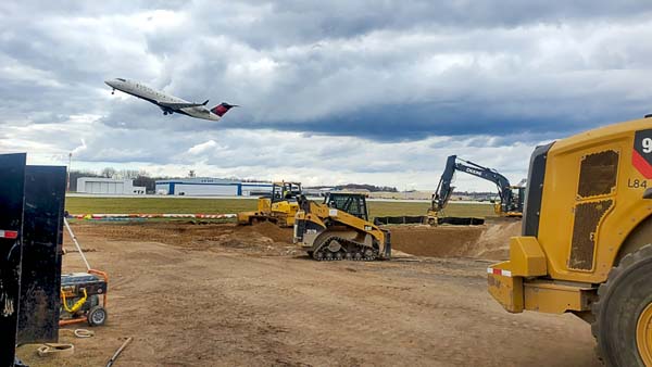
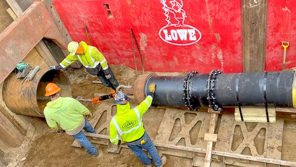
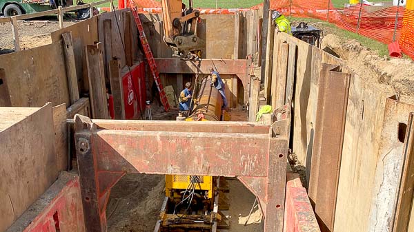
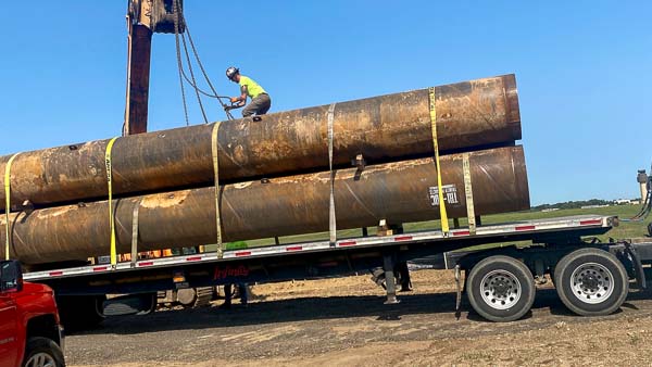
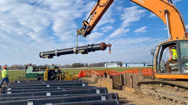
NE Transmission Main
Location: Kalamazoo / Battle Creek International Airport 5235 Portage Rd, Portage, MI 49002
Owner: City of Portage
Project Summary:
• Extended a 20-inch watermain from the east side of the Kalamazoo / Battle Creek International airport to the west side of the airport.
• Hurley & Stewart designed the extension and oversaw the construction.
• Without shutting down the taxi ways and runways, the contractors jack and bored 42” casing 543’ and then met up in the other direction with a 30” casing the final 224’.
• Pulled 800 feet of watermain though pipes.
| Categories : |
Municipal
|
|---|
Portage rd Trail-2
Portage rd Trail-3
Portage rd Trail-4
Portage rd Trail-5
Portage rd Trail-1
DCIM100MEDIADJI_0304.JPG
DCIM100MEDIADJI_0307.JPG
DCIM100MEDIADJI_0306.JPG
DCIM100MEDIADJI_0305.JPG
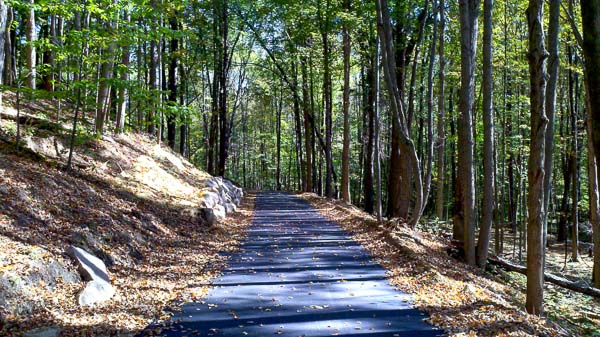
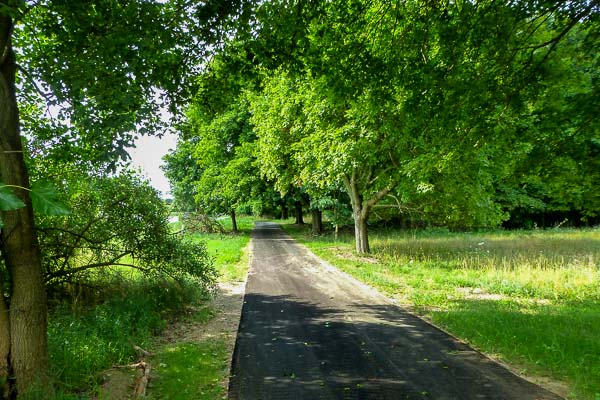
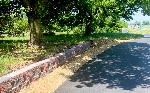
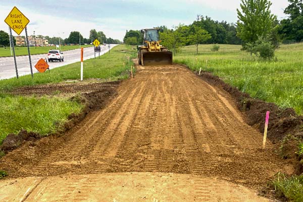
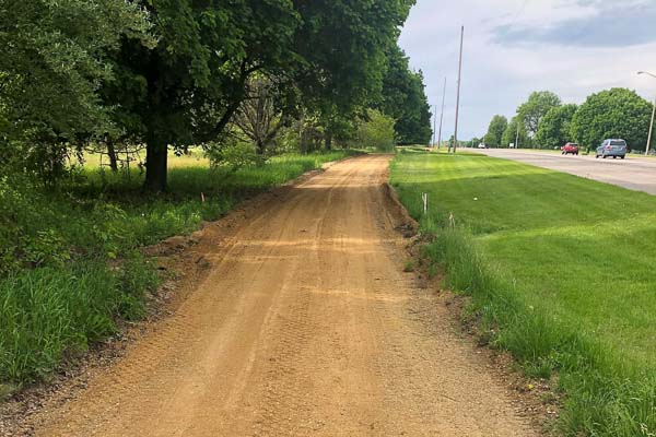
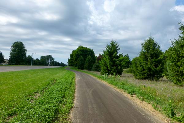
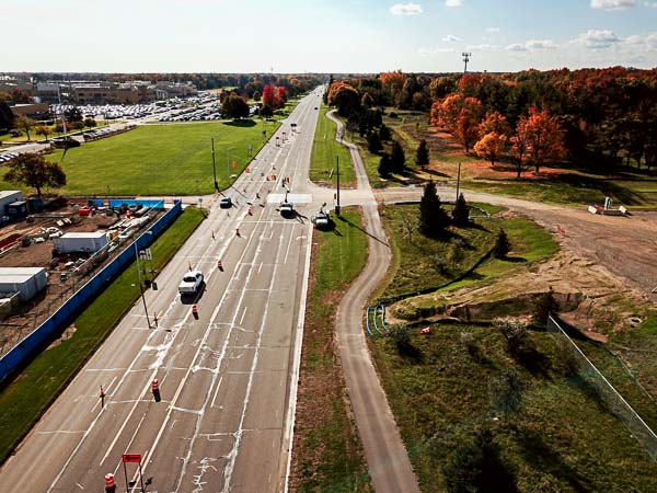
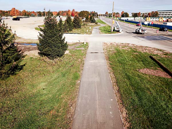
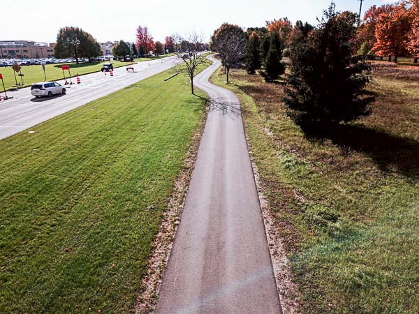
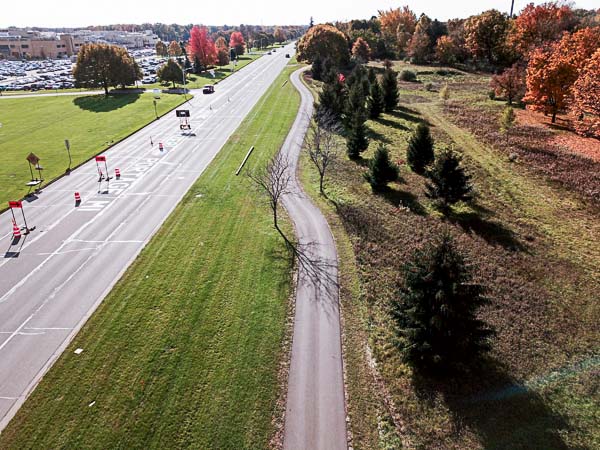
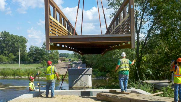
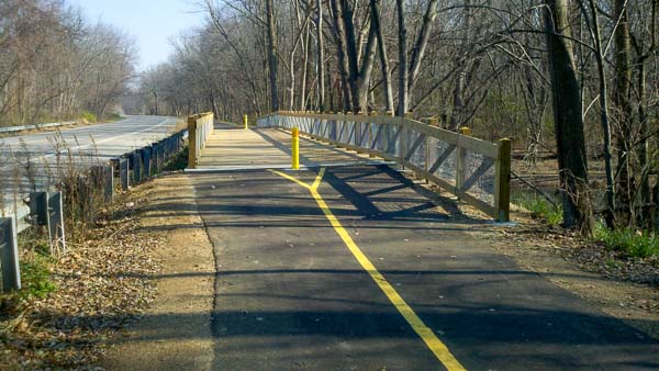
Portage Road Trailway
Location: Portage, MI 49001
Owner: City of Portage
Length: 1.21-mile extension
Project Summary:
Construction on the Portage Road Trail project began in late 2019 and was completed in 2020. The project consists of a 1.21-mile trailway extension from the existing trail at Portage/Ramona Roads, heading south along the west side of Portage Road. This segment of trail ends approximately a quarter mile north of Centre Avenue. The City of Portage plans to continue the trail in the future to join the City’s network of trails. H&S provided design and construction inspection services for the City of Portage. Part of H&S’s job on this project was to coordinate design and construction with the properties along the trail.
Portage Parks and Recreation hope that this stretch of trail will be a part of the next Borgess marathon route.
| Categories : |
Municipal
|
|---|
BST fall sign 1
BST fall fire dept
BST fall 16
BST fall 13
BST fall 12
BST fall 9
BST fall 8
BST fall 6
BST fall 3
BST fall 2
BST fall 1
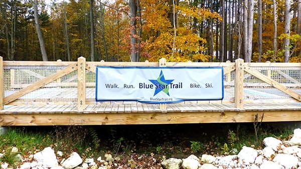
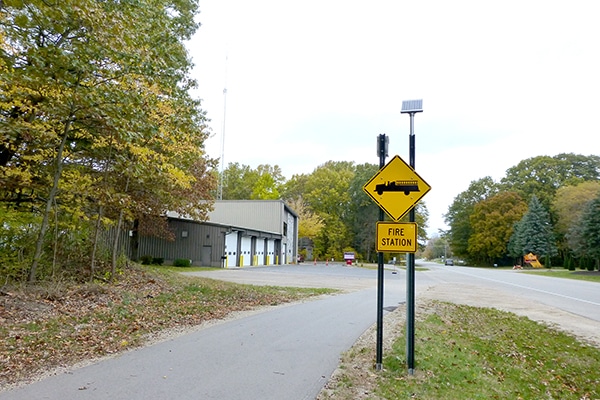
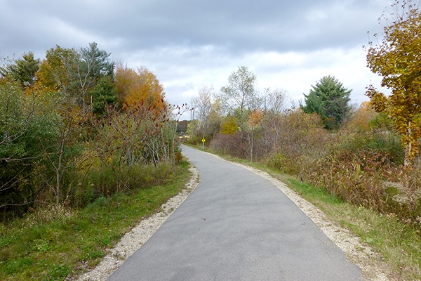
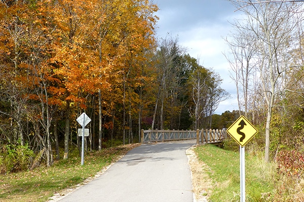
Blue Star Trail – Allegan County
| Categories : |
Municipal
|
|---|
arboretum1
arboretum2
arboretum3
arboretum4
arboretum5
arboretum6
arboretum7
arboretum8
arboretum9
arboretum10
arboretum11
arboretum12
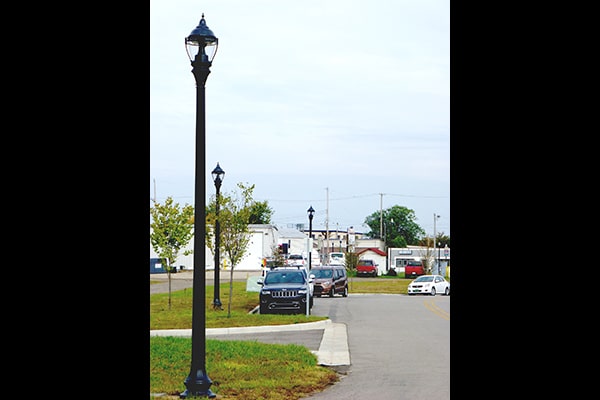
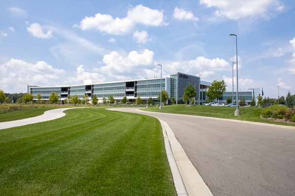
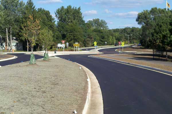
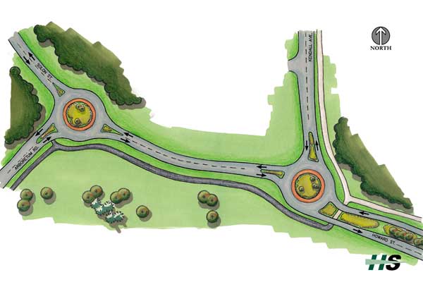
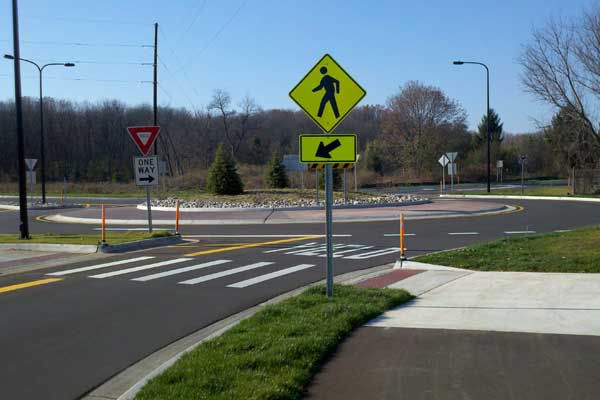
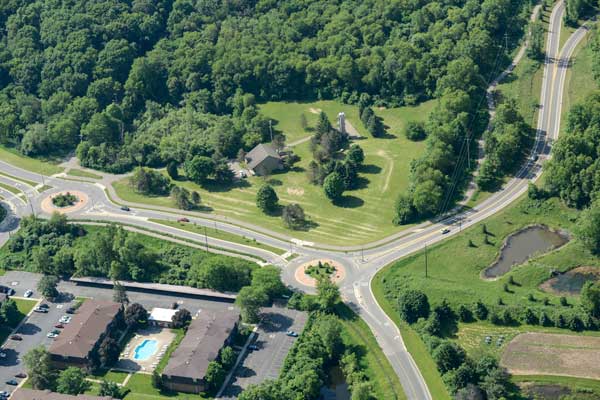
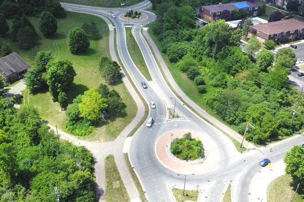
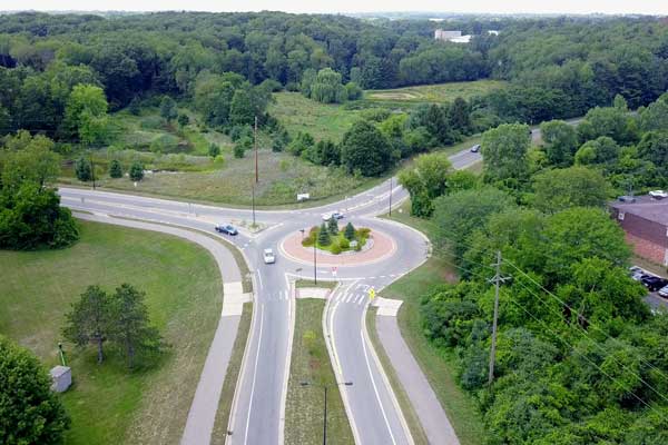
Arboretum Parkway Roundabouts and Boulevard
Location: Roadway between S. Drake Rd. and Howard St, Kalamazoo, MI 49006
Development Size: 1.2-mile roadway, approximately 140-acre development area
Owner: WMU Foundation, City of Kalamazoo
Project Summary: Hurley & Stewart completed the design of this complex road system complete with a double roundabout, 4-phase traffic signal, off-road pedestrian path, and storm water treatment and disposal system in a development partnership with the WMU Foundation, City of Kalamazoo, and Kalamazoo Public Schools. Significant features of this project included:
• Project Cost: $3.6 Million
• Public road project with regional storm water management, public water extension, and public sewer extension
• Developed multiple concepts to create connection from Drake Rd. to north side of Western Michigan University’s campus.
• Investigated ways to utilize property for future development opportunities including Walden Woods Condominiums, Parkway Flats Apartments, Gilden Woods Daycare, and other commercial sites.
• Designed site to have access to public utilities.
| Categories : |
Municipal
|
|---|
KRVT web-2
KRVT web-3
KRVT web-4
KRVT web-1
KRVT web-6
KRVT web-5
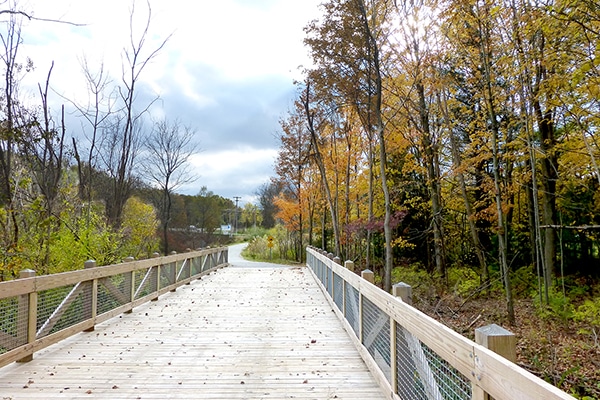
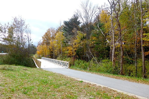
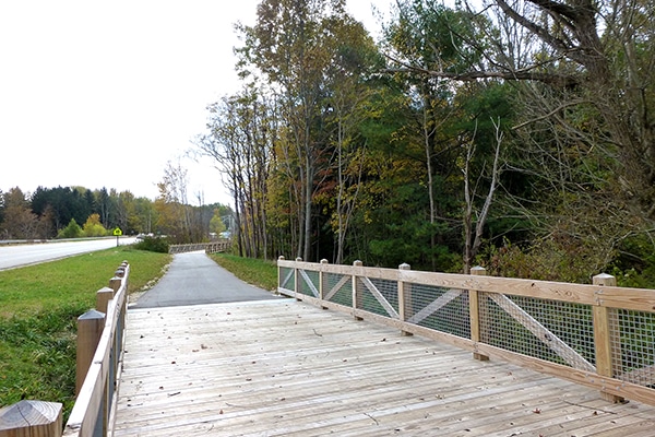
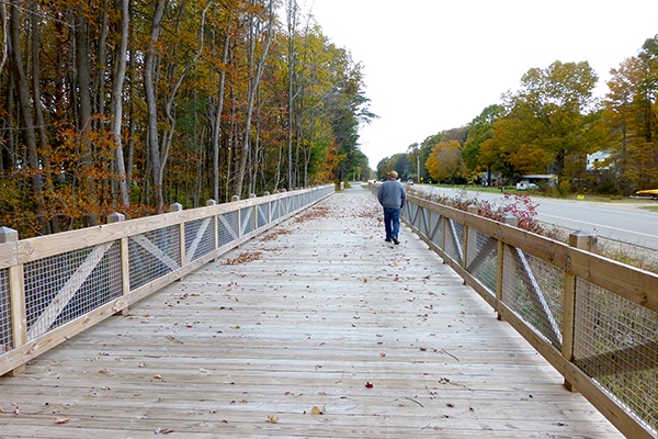
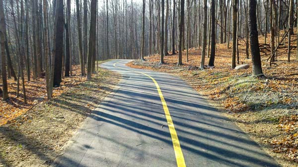
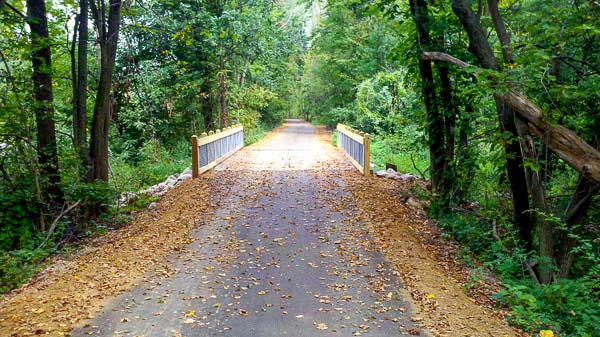
Kalamazoo River Valley Trail
Location: Trail end points: Kal-Haven Trail; E. D Ave. just east of the Kalamazoo River (Kalamazoo) and Galesburg-Augusta Primary School at S. 35th St. and W. Battle Creek St. (Galesburg)
Length: 24 miles
Project Summary:
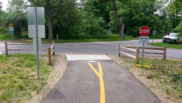
•Designed and constructed 15 +/- miles of ADA and AASHTO compliant non-motorized trail system.
•Trails connect the City center to various City and County Parks and the Kalamazoo Nature Center.
•Designed intersection, railroad, and mid-block pedestrian crossings to ADA standards.
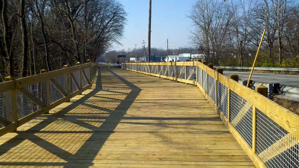
•Designed and inspected five pedestrian bridge structures over rivers and creeks and multiple boardwalk sections across wetlands.
•Prepared cost estimates and coordinated all work with MDOT
•Prepared ROW acquisition documents and worked with property owners for all segments
| Categories : |
Municipal
|
|---|
Constantine St web-2
Constantine St web-1
Constantine Street – Three Rivers
Location: Roadway between Millard St. and W. Broadway St, Three Rivers, MI, 49093
Development Size: 0.5-mile roadway
Owner: City of Three Rivers
Project Summary:
- Project Cost: $280,000
- Public road rehabilitation project in conjunction with MDOT Local Agency Program
- Developed plans for pavement rehabilitation.
- Worked through detailed grading calculations for driveways, ADA ramps and curb and gutter.
- Engineered 0.5 mile public water and sanitary sewer replacement including service leads to approximately 65 private residences.
- Obtained required MDEQ permits
- Worked through MDOT review process
- Performed on-site inspection services to conform with MDOT documentation requirements, including Field Manager.
| Categories : |
Municipal
|
|---|
enterprise dr
Enterprise Drive – Three Rivers
Location: Roadway between N. Main St. and Lovers Ln, Three Rivers, MI 49093
Development Size: 0.3-mile roadway
Owner: City of Three Rivers
Project Summary:
- Project Cost: $280,000
- ¼ mile public road rehabilitation project in conjunction with MDOT Local Agency Program
- Developed plans for pavement rehabilitation including subgrade and drainage improvements. Worked through MDOT review process.
- Performed on-site inspection services to conform with MDOT documentation requirements, including FieldManager.
| Categories : |
Municipal
|
|---|